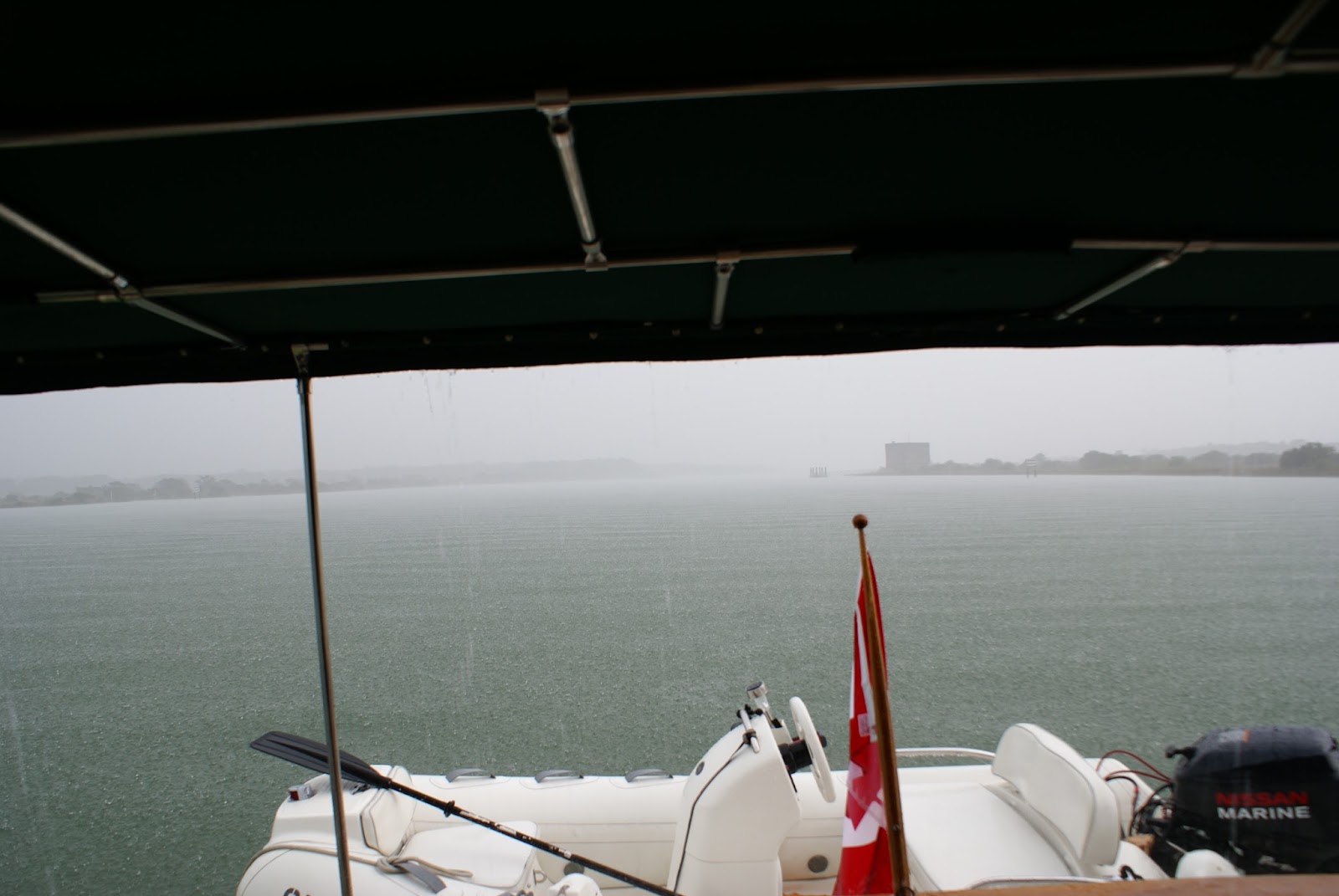
After our 9 hour crossing over the Atlantic Ocean from the Bahamas, we arrived at Fort Pierce. The crossing from the Bahamas to Fort Pierce was 90 miles and took 9 hours. The crossing on the way to the Bahamas, from Palm Beach, was 56 miles and also took 9 hours. The difference.......the crossing from Palm Beach to the Bahamas was direct. The Gulf Stream has a strong current that pushes you as you are trying to move directly across. So, it takes longer as you are fighting the current to hold your course. When we left Bahamas we were travelling 90 miles but Fort Pierce is North so we were travelling at a 45 degree angle. The Gulf Stream actually helped us by pushing us in the direction we were travelling increasing our speed to about 10 knots. We passed this freighter on the way back to Fort Pierce. Neither Steve or I could remember a big wake from these things but this freighter put out a 8 foot wake. Thankfully we knew it was only one wave but it was huge. It kicked the auto pilot off and I thought for a minute we lost our steering. That would have been devastating.

Arriving at Fort Pierce


Our friends Len and Gail were in Port Charlotte, about 2 1/2 hours away by car. I sent them an email when we arrived in Fort Pierce. We were very excited to have them come visit....

We took a walk down the dock to see some fisherman cleaning their catch. We chatted a bit with the fishermen. The fish are dolphin fish. So relieved to hear there is such a thing because all this time when I saw dolphin on the menu I thought it was the mammal not the fish.


Dinner on the boat with good friends and lots of laughs.

We said goodbye to Len and Gail the next day and started to head north. We saw many of these islands that were uninhabited but looked like great placed to camp for a weekend. Close enough that you could get there with a small boat and big enough to pitch a tent.

The houses along the ICW here are much closer to the water.....still lots of house.


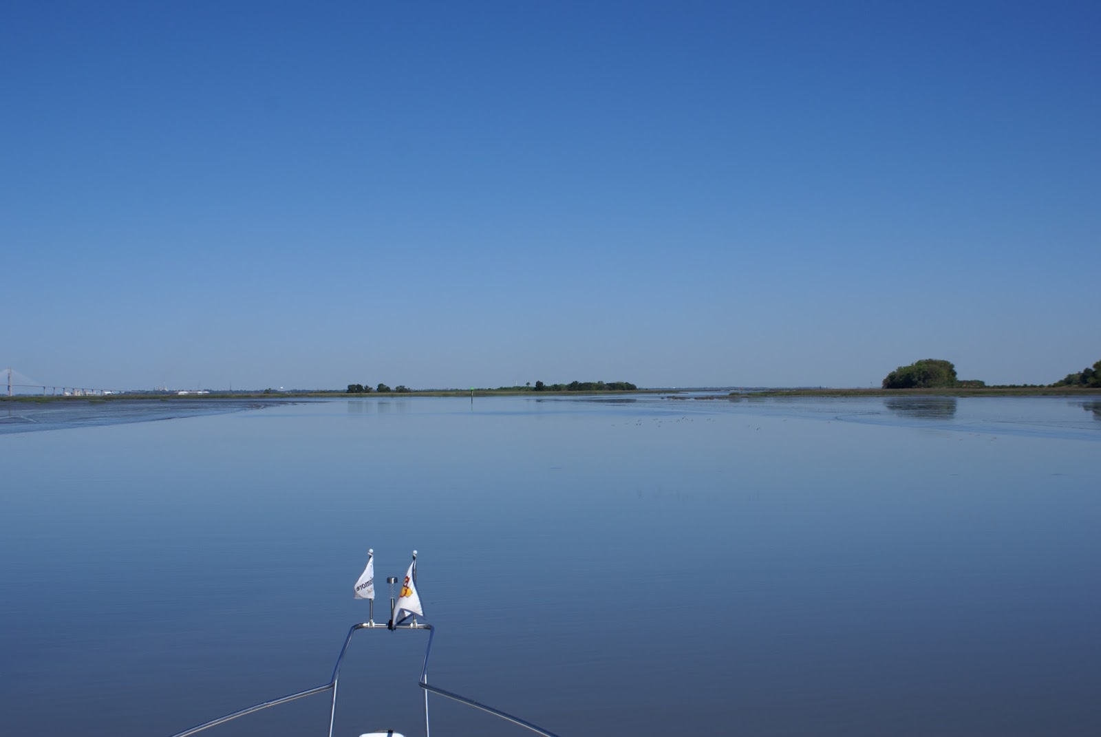
....as we proceeded further North the ICW was much wider.

We were travelling North when we heard what sounded like a fog horn. We looked around and saw a small boat waving their arms. Arggghhh.....they were dead in the water. We asked...do you have paddles....answer no....really?! We had a really long day of travel ahead of us but there is that thing called karma. You just don't pass by another boater in trouble. We stopped to assist and offered a tow to as close to shore as we could get.

As we were towing I asked....what are you guys doing?....fishing?.....they said no...checking to see if the engines work. I said well I guess you know the answer to that question. We had a good chat. They loved that we were Canadian eh! We got close to shore where we were seeing less than 2ft of water under the boat. Sorry guys we have to let you go here but you can always get out and walk from here if you have to.

We were glad to see a pontoon boat stopped and helped them in to shore.

We passed the Kennedy Space Centre. Today is March 31st, next launch is April 8th. You can see the launch pad to the left of the NASA building.

Another little island that would be great for a camping weekend.

When we were in Marathon we heard much talk about a bill that Florida is trying to pass. That bill makes it illegal to anchor in parts of Florida. Everyone was up in arms. A big part of boating is anchoring. After a long day of travel it's nice to drop anchor and relax....no power to plug in, no water to hook up, swim if you want because you can't swim in marinas.....and it's free. Steve commented at the time that people must be taking advantage. There is nothing wrong with a boat that comes in drops anchor and moves on....but there are always those boats.


It's obvious that there is no one aboard these boats as there is no dinghy and you don't put out numerous anchors if you are on board. This is a shot of the homes directly across from where these boats are anchored. Not a very nice view.

We are seeing many boats in the ICW just sunk and abandoned. I can understand the bill that these residence are seeking to have passed. I would too. If the resources available to boaters were used respectfully this bill would likely not be in place today. You anchor, you move on, you don't make a home at an anchorage in front of someone else's home.
Approaching Daytona Beach now.....

The ICW is becoming very narrow....

and again, the homes very close to the ICW.

There are many bridges along the ICW, most we can clear but this one was only 15 ft. We require at least 17 so we had to request a lift.

Everyone along the ICW here seems to have a dock with a boat lift.


The landscaping is beautiful! The person that looks like he is putting is a statue. There is a golf green that he is putting toward.

You can see how skinny the land is between the ICW and the ocean. This home on stilts is on the ocean....we are on the ICW. Just enough turf to keep the waves away.

Friends from Moncton New Brunswick pass.....always good to see the red and white.

All settled at our anchorage for the night when the expected thunderstorms arrived.
When we woke the next morning and checked the weather there were severe thunderstorm warnings for most of the day for the east cost of Florida. We decided to take a lazy day at anchor in the rain.
At about 12pm the rain cleared and the sun came out. We thought we would take advantage of they day and travel 25 miles.

The tides here are huge 4 - 9 ft. depending on your location. You can see how long the locals need to build their docks to compensate for the tide.


The waterways are littered with derelict boats. This costs the state thousands of dollars to remove these boats. The funds to do so comes from boat registration fees. You can see why Florida doesn't want people anchoring any longer.

A couple of tour boats that we passed by in St. Augustine Florida.


We stopped that night at an anchorage that we thought was very well protected but it was out there. The winds were gusting but the marshes protected us from waves. We just had to listen to the wind howl......for most of the night, but we felt safe.
We passed by an old fort shortly after leaving our anchorage the following morning. Travelling 50 miles today. 1 hour by car....8 hours by boat.

Our next anchorage was just over the Florida/Georgia line. We first crossed over the Alabama/Florida border on Nov 16th, today is April 3rd.....leaving Florida. Steve is singing Georgia.....Georgia. There were many boats at this anchorage and it was pet friendly for Dexter.

Passed a military base just as we were leaving the anchorage. The military presence is far greater on this coast than the Gulf coast.

The ICW here reminds us of the prairies. It is very flat, the scenery.....for the lack of a better word....sucks.

Oh wait...did I just say the scenery sucks. We are passing by Cumberland Island. Cumberland Island has many wild horses and we spotted one grazing the shores.

All of a sudden we heard birds.....lots of birds. Do we look like a shrimp boat?

I thought some of them were going to fly right in the boat. Not sure what they were after because there was no food being tossed from this boat.

The tides in this area are 7 feet. Cruising past this restaurant we saw 3 feet under the boat. You can see there is no water surrounding the restaurant and the two boats on the restaurant side of the dock, are on land. They have to stay there until the tide rises.


Past the restaurant and the shores are creeping toward us.
I thought this was a log, but Steve said "no it's a gator".....It wasn't that big but big enough to enjoy a JR(Jack Russell) snack.

The tides close to the Georgia, South Carolina border and in to South Carolina are huge. The water levels fluctuate as much as 9 feet. This is what the markers look like at low tide.

....and this is what they look like at high tide. 

We were approaching a pass called "Hell's Gate". We also have a Hell's Gate close to home on Stoney Lake. That Hell's Gate is named because of the rocks that closely surround a very narrow channel. The Hell's Gate in Georgia is named because it is extremely shallow. We were with 4 other boats as we attempted to go through. We were about 1/2 hour past low tide so the water was beginning to rise. There was a sail boat that ran aground as we approached.
 The sail boat said they drew 4 feet of water. We only draw 2 1/2. Another boat went ahead of us and radioed the depths to us as he passed through. We decided to go ahead. In places we saw less than 2 feet of water under the boat....but there was still water under the boat. You can see the red marker behind us is not even in the water any longer.
A catamaran followed us through. He said he drew 4 feet of water so we watched our depths and radioed him as soon as we saw the very shallow depths. He said he wasn't seeing that and proceeded. A few minutes later he came on the radio and said he was also aground. Good news, the bottom is soft mud so it's just a waiting game. Waiting for the tide to come in and float your boat. We heard these two boats on the radio about a 1/2 to an hour later saying they were free of Hell's Gate.

We passed a crab fisherman. We see many crab pots but this is the first time we have ever seen a fisherman tend to them.

We have been at anchor for 8 days since we left Fort Pierce. We stopped for fuel at a Marina called Isle of Hope Marina. As we approached we saw the name Emerald Bay Marina on the building. We had talked to the dock hands on the radio and they answered to Isle of Hope so we weren't sure we had the right spot as there was another marina very close. As we got closer we could see them standing on the dock so we went in. As soon as we landed I was about to take Dexter to shore when I was told I couldn't go off the docks because they were filming the movie Baywatch, starring Zac Efron and the The Rock. They changed the name on the sign for the marina for the movie. I walked to the end of the dock only to be met by security to say that's far enough and don't take any pictures. This was all I could get.

Heading further North, there are many military bases. We had fighter jets flying overhead but we don't hear the loud roar of the jet engines until they are out of camera range. This Hercules plane passed overhead. We could see that far in the distance before it passed over. The tractor trailers of the sky for military.
 Passing by Charleston, South Carolina
There was another fort at the inlet to Charleston where they stood guard to protect any intruders from across the sea.

Passing by one of South Carolina's golf courses, for which they are famous.

It was a short day...just 40 miles. We are staying at a Marina tonight. When we arrived there were a bunch of school children that had just come in from a boat excursion. We got a lesson on the eco system, oysters, crabs...which they caught while they were on their excursion.

This is a great stop. There is a small market here and since we haven't touched land for over a week it as a good place to buy bread, eggs, deli meat and beer. The wine is always well stocked so no worries there.

The homes behind the marina were beautiful as most are on this part of the ICW.

We will leave here in the morning....bookin it home in time for the birth of our new grandson..."One Bay at a Time."
No comments:
Post a Comment